Town
Where to Stay in Adams
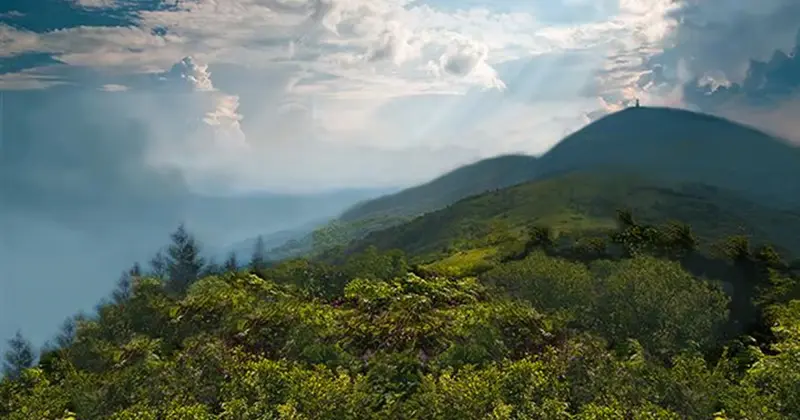
Adams is a mill town at the foot of Mount Greylock, at 3,491 feet the highest peak in Massachusetts, and the Cheshire Harbor Trail climbs to the summit from here. Bascom Lodge, built by the Civilian Conservation Corps in the 1930s of stone and timber, sits at the top, with private rooms and bunk rooms, open from late May through mid-October. The Appalachian Trail crosses the summit. MASS MoCA in North Adams is about 5 miles north, and the Clark Art Institute in Williamstown about 12 miles northwest; both are open year-round. Adams itself has fewer visitors than North Adams or Williamstown.
Why Stay in Adams
- •The Cheshire Harbor Trail, a direct route up Mount Greylock, starts in Adams.
- •Bascom Lodge, a 1930s CCC lodge of stone and timber, sits at the Greylock summit and is open from late May through mid-October.
- •MASS MoCA is about 5 miles north in North Adams, and the Clark Art Institute about 12 miles northwest in Williamstown.
What Makes This Area Interesting
- •Mount Greylock: 3,491-foot summit with Appalachian Trail crossing, war memorial tower, and Bascom Lodge; open for day hiking year-round.
- •MASS MoCA: North Adams; 250,000 square feet of contemporary art in a 19th-century factory complex; open year-round.
- •Clark Art Institute: Williamstown; Impressionist and American art collection, reflecting pools, and hiking trails on the campus grounds.
- •Greylock Glen: planned outdoor recreation area at the mountain's eastern base; campground and event space open summers.
Explore Nearby Towns
Frequently Asked
Late May through October, when Bascom Lodge and the summit road are open. Foliage on the mountain usually peaks in early to mid-October. Greylock's trails can be hiked year-round, but the summit road and the lodge close in winter.
About 3 hours from the George Washington Bridge via the Taconic Parkway and Route 2 east. From Boston, roughly 2.5–3 hours via I-90 (Mass Pike) to Route 8 north.
Yes. The summit road is open from late spring through fall, and Bascom Lodge is at the top. Check the DCR website for road conditions before going.